
Lebanon Neighbors Block Lookup Sources
Public records can answer limited questions about a Lebanon block. The city and county map services show parcel geometry, road context, boundaries, and adjacent legal parcels. Warren County Auditor data supplies the current tax-record owner or entity and separates property-address fields from tax-mailing fields. The Recorder can extend a selected parcel into its recorded document trail. These sources describe parcels and recorded roles; they do not create a household directory for Lebanon neighbors.
| Source | What It Shows About a Block | Access |
|---|---|---|
| GIS parcel polygons and OwnerParcel | Adjacent legal parcels, parcel position, and street geometry | Browse and click the public map |
| Warren County Auditor property roll | Current tax owner or entity, parcel, situs, and mailing fields for a selected parcel | Public Property Search |
| Warren County Recorder AVA | Recorded transfers, land instruments, and legal-description trail | Official search instructions |
| Road and boundary layers | Address ranges, city and ZIP fields by road side, and municipal context | GIS map layers |
| Ohio Voter Search | A named person's permitted election record | Name and county search, not a block browse |
| Historic directories and newspapers | Earlier address, household, or civic clues where a volume or issue exists | WCGS, Harmon, Records Center, and Ohio Memory |
The owner field needs careful reading. A name, trust, entity, or mailing contact on the tax record indicates the assessment record's billing relationship. It is not proof that the named party is present at the Lebanon property, and it does not reveal every household member. For a more complete named-street process, use the separate Lebanon by-street directory rather than expanding a block search into a street-wide list.
Map Lebanon Neighbors by Parcel
The verified Lebanon method is to browse and click adjacent parcel polygons. No public buffer, radius, or select control was confirmed in the rendered map viewer, so it is better to work from the target parcel outward one property at a time. The county and city layers provide OwnerParcel, Address Points, Road Centerlines, building footprints, municipal boundaries, flood zones, and related map context. The parcel number and legal description are the stable handoff from map position to the Auditor and Recorder.
- Find the target Lebanon address in the county or city parcel map and note its parcel number, legal description, and visible lot context.
- Click each immediately adjacent polygon, recording its parcel number and map position instead of assuming a nearby map label identifies a person.
- Run each selected number through the Auditor Property Search to compare the current tax owner or entity with the situs and separate mailing fields.
- Use the Recorder's parcel or name route for a documented transfer trail, matching the legal description before treating two records as the same land.
Stop at the record question in hand. A Lebanon block map can make the legal landscape clear, but it cannot answer who is inside each home. A recorded party, parcel owner, and occupant are distinct concepts.
Lebanon Neighbor Lookup Myth
OwnerParcel is a map layer, not a household roll. Warren County's parcel schema includes OWNER_NAME, MAIL_NAME, property ADDRESS_LINE fields, MAIL_ADDRESS fields, PARNUM, legal description, subdivision, lot number, book and page, acreage, municipality, township, and tax district. That combination is valuable for checking whether a map polygon and Auditor result describe the same parcel. It does not say who is currently present at that address.
Parcel history can be especially useful when the Lebanon address has changed form or when a subdivision split complicates a comparison. Follow the legal description, lot, subdivision, and recorded plat trail rather than relying only on a current street number. A deed records conveyance and can contain trust, estate, or other non-sale instruments, so label a document by what it actually is. The Auditor and Recorder are the sources for assessment and recording interpretation; map geometry supplies context.
Lebanon map tip. Preserve both the parcel number and the legal description before comparing a current address with older Recorder or archival material.
Lebanon Block Records at the Street Edge
Road Centerlines explain why a Lebanon block can have different city or postal labels on opposite sides of the same street segment. The city service stores left and right address ranges, city, county, state, and ZIP attributes for its road layer. Municipal-boundary and Lebanon Corporation layers provide a separate check for whether a parcel lies within the city boundary. Use those map fields for geographic context, not to infer a household or a voting record.
For a property near an edge, compare the parcel polygon, road-side address range, municipal boundary, and the Auditor's situs field. A postal label can cover a larger area than the city boundary. When the question moves backward in time, preserve the original address spelling and connect it to legal descriptions, plats, road maps, and tax duplicates instead of forcing a modern format onto an older record.
Lebanon Neighbor Voter Limits
Ohio Voter Search is a named-person tool, not a public way to browse everyone on a block. The public screen requires first name, last name, and county. After a search, a street-name selection may help narrow a result for that person. The state recommends trying a derivative first name, former last name, or prior Ohio address when a named search does not return a match. Warren County Board of Elections handles an unreturned search, correction, or local file question.
Ohio's voter-record access and confidentiality statute is the source for the public-record boundary that applies to this type of search.
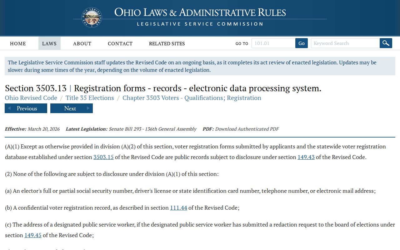
ORC 3503.13 excludes Social Security information, driver-license or state-ID information, telephone numbers, email, confidential voter registrations, and protected addresses. Voting history means participation, not ballot choices. Safe at Home records are confidential and must never be used to reverse a substitute address.
Lebanon Neighbor Association Directory Gap
No official City of Lebanon neighborhood-association umbrella directory, household directory, or public member inventory was located in the research. That gap matters. Do not create association names from map labels, import private contact lists, or treat a historic community source as a current membership roll. A group may choose to publish a public contact, but participation in a congregation, a block-watch effort, or another local group is normally private unless the organization makes it public.
| Community source | Verified public role | Directory status |
|---|---|---|
| Official Lebanon association inventory | No verified umbrella list found | Do not infer names, officers, or members |
| Warren County Genealogical Society | Historical county, family, cemetery, church, tax, probate, and newspaper research | Research collection, not a current neighbor directory |
| Harmon Museum Mary W. Klei Library | Church, family, atlas, newspaper, tax, cemetery, and local-history material | Historical context, not a member roster |
| Public organization contact | May be published by the organization itself | Use only the published contact, never assume a household list |
The Warren County Sheriff's official public page is an agency source, not a substitute for a Lebanon community or household directory.
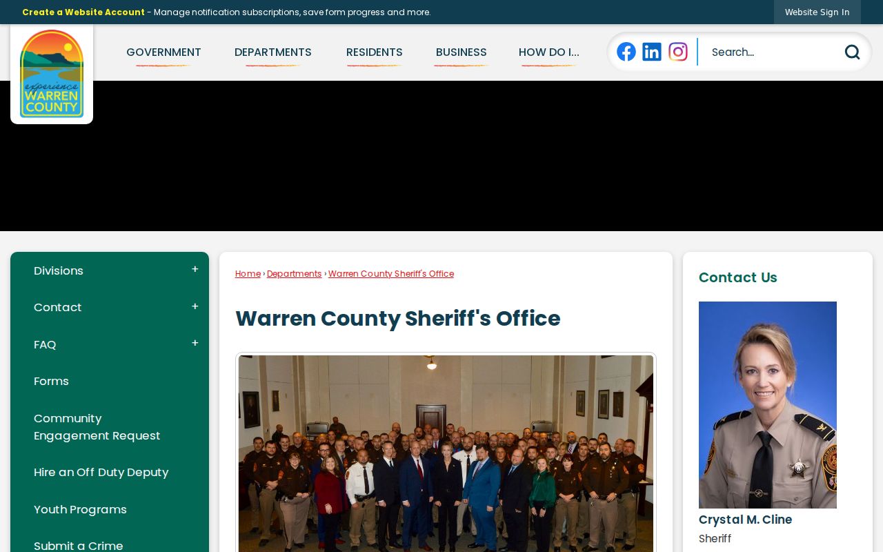
Keep official agency information and voluntary community contacts separate from neighbor research. The lack of a verified local association inventory is a limit, not a reason to collect private participation details.
Historic Clues About Lebanon Neighbors
For an earlier Lebanon block, use collections that preserve time and address context. The Warren County Records Center has holdings dating to 1803 and makes material 75 years or older researchable in paper, electronic, and microfilm forms. Its local guide lists tax duplicates from 1809 with gaps, along with probate, vital, court, and other archival paths. Tax records, recorded instruments, and an older newspaper notice can test a historic address clue more carefully than a current parcel screen.
WCGS and Harmon Museum add city-directory leads, family histories, cemeteries, church material, atlases, local newspapers, and tax sources. The Western Star collection is another useful local layer, with Ohio Memory pages and Harmon microfilm for issues or names that need a closer check. An old directory entry or newspaper mention is evidence for its date, not proof of a present household.
Official Lebanon Block Records
Official sources and commercial neighbor-lookup categories serve different purposes. The Lebanon parcel, Auditor, Recorder, election, and historical-office routes state what record is being consulted and identify the custodian responsible for a correction. Commercial services may combine public and other data at a cost, but a result can be stale, merged, or assigned to the wrong person. Use an official source for a specific record question and contact the custodian when a fact needs verification.
| Source category | Strength | Boundary |
|---|---|---|
| Official parcel and tax roll | Current assessed parcel, owner or entity, and mailing-versus-situs fields | Does not establish every person at an address |
| Recorder documents | Recorded party roles and land-description chain | Transaction evidence is not current-presence proof |
| Election record | Named elector's statutorily available information | Not a block roster; protected data remains private |
| Historical collections | Date-specific household or community context | Verify date, source, and address form |
| Commercial neighbor tools | Category-level compiled leads | May be stale, merged, or misattributed; not a custodian record |
Ohio DRC Offender Search is an example of an official state search with its own defined purpose and should not be substituted for parcel or household research.
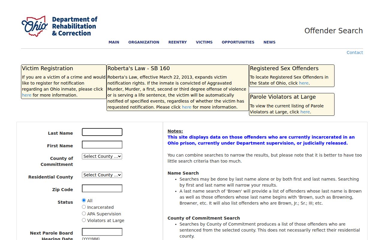
Keep each source in its stated lane. A public tool's existence does not make it a reliable way to identify people nearby or confirm a current address.
Lebanon Neighbor Privacy Limits
Ohio public-record access does not make private household information public. Parcel and GIS records do not list every household member, and a tax owner is not automatically an occupant. Utility-customer information, postal delivery information, motor-vehicle data, confidential voter information, and Safe at Home addresses are not a public block directory. If an official record contains a lawful redaction, request only the nonexempt record from the office that holds it.
Ohio eSORN conditions of use also stress that a name, date of birth, or appearance comparison is not conclusive identification; fingerprint verification is required for positive identification.
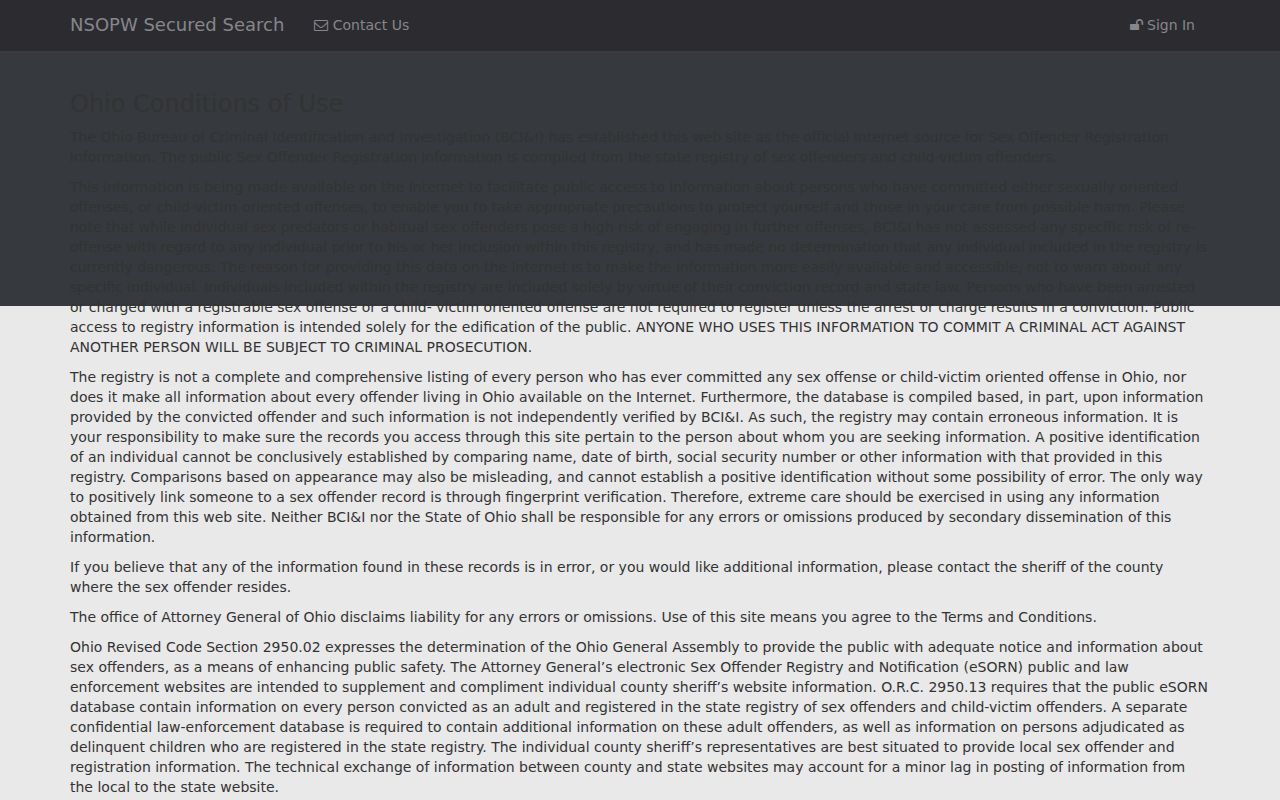
That safety limit applies to all targeted records work. Do not label a person, publish sensitive details, or warn others about a Lebanon neighbor based on an unverified name match.
Lawful use. Lebanon neighbor research is for personal, lawful property and community curiosity. Do not use records to watch, stalk, harass, intimidate, or harm another person; Ohio law prohibits menacing by stalking.