
Lebanon ZIP Code Coverage
The verified core postal ZIP for the City of Lebanon is 45036. It is served by the Lebanon Post Office at 230 New Street, which lists retail hours Monday through Friday 9-5 and Saturday 9-1; PO Box access is daily. A nearby ZIP can be associated with Warren County or appear in a routing label without serving a City of Lebanon street address. The safe local rule is simple: use 45036 for Lebanon city mail, then use the official USPS address lookup for any border, exception, or nearby-community address.
| ZIP | Areas covered | Post office | Verification note |
|---|---|---|---|
| 45036 | Lebanon postal city, the City of Lebanon core, and a wider postal/ZCTA area | Lebanon Post Office, 230 New Street | The only Lebanon city ZIP verified in official sources; check each street address with USPS. |
| 45066 | Springboro postal area near Lebanon and Warren County | Springboro Post Office, 55 S. Pioneer Blvd. | Not a Lebanon city ZIP merely because a routing label may pair it with Lebanon. |
| 45065 | South Lebanon postal area | South Lebanon Post Office, 219 E. Forest Ave. | Adjacent community, not verified as City of Lebanon postal coverage. |
| 45034, 45054, 45152 | Kings Mills, Oregonia, and Morrow postal areas | Local post offices for those communities | Nearby Warren County identities, not additional verified Lebanon city ZIPs. |
The USPS ZIP Lookup is the official final check. It can return an address ZIP from street address plus city and state, list ZIPs associated with a city and state, or return cities covered by a ZIP. USPS also warns that a result does not confirm a person or company at an address. A postal result therefore answers a mailing question, not a question of residency or city jurisdiction.
Why Lebanon 45036 Exceeds City Limits
Postal Lebanon and incorporated Lebanon do not use the same boundary. The 2020 Census profile for ZCTA 45036 reports 41,060 people, while Census QuickFacts reports 20,841 people in the City of Lebanon at the 2020 census. That contrast is the key local geography lesson: 45036 reaches a wider delivery and statistical area than the city corporation boundary. A Lebanon mailing address may therefore sit outside the incorporated city even though its ZIP label says Lebanon.
USPS creates ZIP Codes for mail processing. The Census builds ZIP Code Tabulation Areas, or ZCTAs, for statistical tabulation. Census guidance says a ZCTA may contain noncontiguous pieces and institutional, firm, or PO Box delivery points, and it follows Census blocks rather than city lines. Do not use a ZIP alone to decide whether an address is inside the City of Lebanon or to draw conclusions about the people connected to it.
See the Census QuickFacts source for the local city-population context shown here.
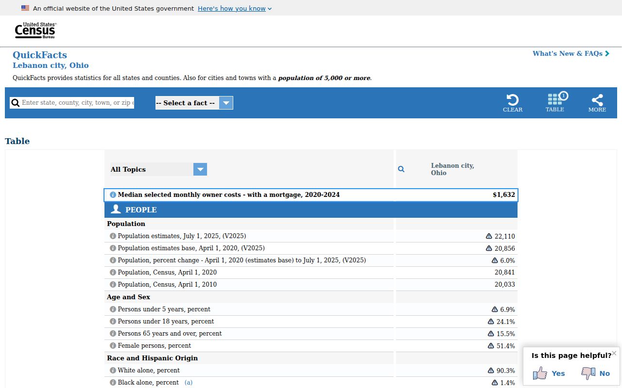
The population contrast is a boundary warning, not a directory of people. Use a municipal-boundary layer and the particular street address when the difference between postal Lebanon and the city limit matters.
USPS Checks a Lebanon ZIP Code
For an exact delivery ZIP, start with the full physical address. The USPS tool provides three distinct query paths, and each answers a different question. An address search is the strongest route for a house or business address. A city-and-state search gives associated ZIPs, which is useful for orientation but does not prove that every street in that city uses each result. A ZIP search returns cities covered by that code. Keep the result with the original address spelling and date of the check.
| Street address + city/state | Returns the ZIP for a specific entered address; use this for a final address check. |
|---|---|
| City + state | Returns ZIPs associated with the named city; useful for postal context, not parcel boundaries. |
| ZIP | Returns cities that the ZIP covers; this does not establish incorporated-city status. |
For postal-service details, the Lebanon Post Office listing gives its phone as 513-934-2199. It is a postal source, not a property-record office. Use the county map and property sources for parcel questions after the postal address has been confirmed.
Note: USPS verifies delivery geography, but its own warning says a successful result does not confirm who is actually at that address.
Find Records Within a Lebanon ZIP Code
A ZIP can narrow the starting geography, but the public Warren County tools do not create a ZIP-wide people list. The Auditor’s observed search screen provides Name, Address, Parcel ID, Account Number, Subdivision or Lot, and Advanced Search modes. No documented ZIP filter was found there. The road-centerline GIS layer stores ZIP attributes, but it is a map dataset rather than an occupancy record. Ohio Voter Search requires a named individual plus county, and it is not a browse-by-ZIP tool.
- Verify the exact address and postal ZIP through USPS, retaining the street spelling used by the result.
- Use the city/county parcel map’s address points, road centerlines, Lebanon Corporation, and municipal-boundary layers to place the address geographically.
- Search the Warren County Auditor Property Search by the specific address or parcel. Treat owner and tax-mailing fields as assessment information, not proof of occupancy.
- When an individual must be checked, use Ohio’s official Voter Search with first name, last name, and Warren County, subject to its legal limits and protected records.
- Once the ZIP has narrowed an address to a street, continue with the Lebanon by-street directory for the address-keyed record sequence.
The state’s DATA Act voter snapshots are a historical bulk-data route with date and county controls, not a simple ZIP filter. Snapshots are made daily at 4 p.m. and retained at least 22 months. A missing entry in a dated snapshot cannot prove that a person was never registered or never lived in an area.
Road Layers at Lebanon ZIP Edges
The local GIS layers supply useful geography after USPS returns a ZIP. Road centerlines carry the street label, prefix, name, suffix, left and right address ranges, and the side-specific ZIP and city fields. Address Points locate a specific mapped address, while the Lebanon Corporation and Municipal Boundaries layers show the local governmental line. The County GIS catalog also offers parcels, subdivisions, roads, voting precincts, school districts, and several aerial years, but those layers do not identify occupants.
The Warren County Board of Elections is at 520 Justice Drive in Lebanon, with weekday hours of 8-4:30 and phone 513-695-1358. It can help with a correction or question about a named voter record. The official public lookup remains an individual-registration tool. It does not give a public route to display everyone on a ZIP or a street.
See the Warren County elections office source used for this local contact image.
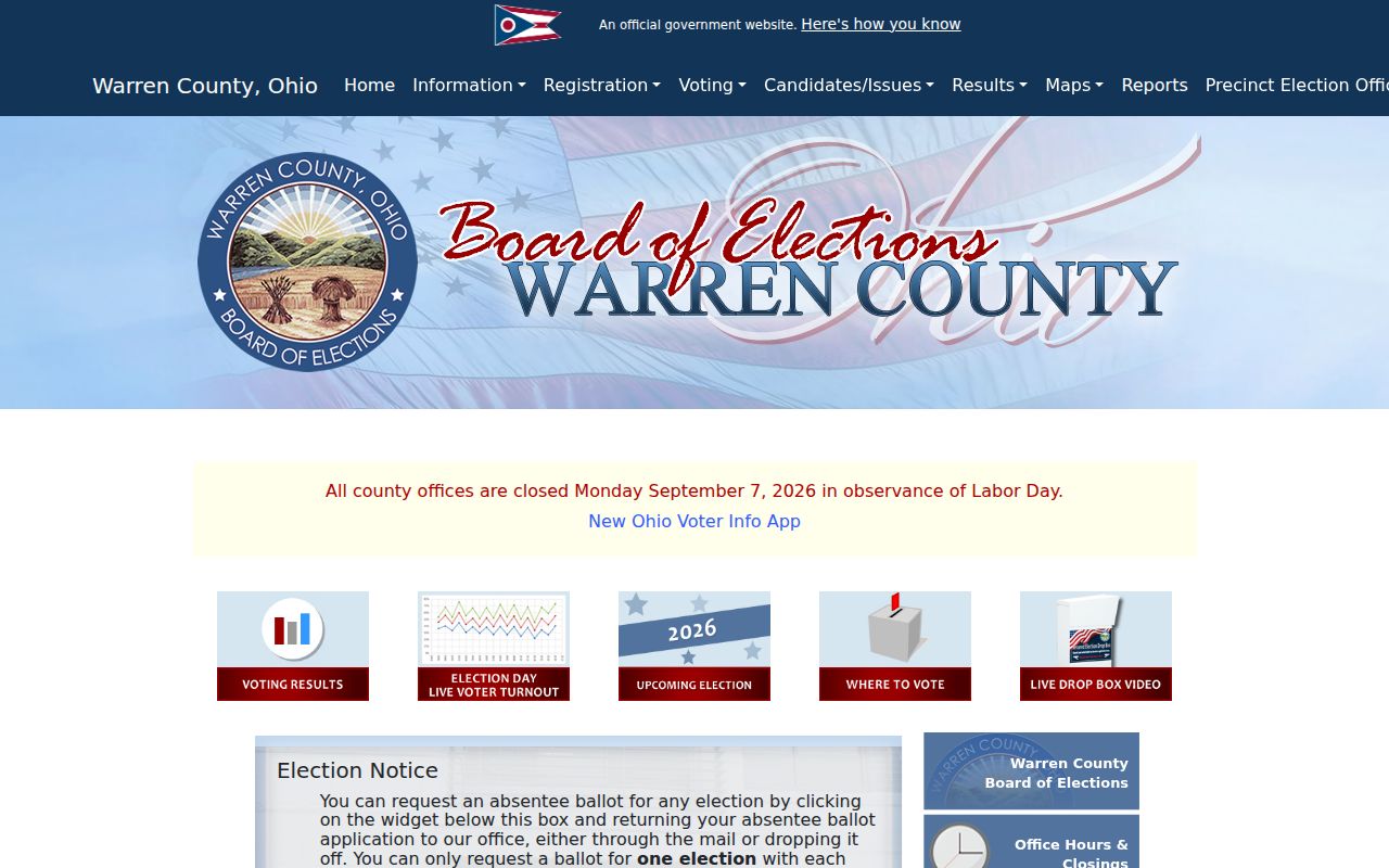
Election records and map layers answer different questions. Use the map for geographic context and the election office only for the permitted status or record question about a named person.
Lebanon ZIP Code Boundaries and City Limits
The right boundary check uses more than a mail label. Lebanon’s Parcel Public Access map includes Address Points, OwnerParcel, Lebanon Corporation, and Municipal Boundaries. Its Road Centerlines layer contains left and right address ranges as well as left and right city, county, state, ZIP, and FIPS fields. An edge street can therefore have different city or ZIP labels on opposing sides. Compare the road segment with the municipal boundary, then verify the exact delivery ZIP at USPS.
- ZIP Code
- A USPS mail-routing code. It is not a city-limit line, ownership record, or confirmation of a person’s presence.
- ZIP+4
- The added four digits refine delivery within a ZIP Code; they do not turn a postal record into a resident record.
- PO Box ZIP
- A ZIP used for post-office-box delivery. It should not be treated as the physical location of the box holder.
- Carrier route
- A postal delivery grouping. It can help organize mail, but it is not a public roster or a legal parcel boundary.
No official local source verified a Lebanon street-grid origin, citywide renumbering date, ZIP realignment year, or E911 addressing authority. That gap matters because a historical address should be checked against the map and parcel description rather than forced into an unverified local addressing story.
Lebanon Postal and Parcel Address Types
Three address systems often appear in the same Lebanon record trail. The Auditor’s situs or physical address identifies where a parcel lies. The tax mailing address identifies where tax correspondence is sent and can be outside the city or state. The Recorder’s legal description, subdivision or lot, book and page, and parcel number identify the land in a more stable form when street numbers, road names, or ZIP labels vary. The Recorder recommends the ten-digit parcel number as the handoff from Auditor search to its AVA land-record search.
| Situs address | The parcel’s physical location in Auditor and GIS address data. |
|---|---|
| Tax mailing address | The assessment contact destination. It is not an automatic statement that the owner lives at the parcel. |
| Legal description | The recorded lot, subdivision, book/page, or other land description used to follow property across address changes. |
| Parcel number | The ten-digit Warren County identifier used to connect the Auditor, Recorder, and AVA records. |
That separation is a useful myth check. A public parcel, voter, or postal result never supplies a complete household roster. Other household members and protected people may not appear in the source, and protected address programs must not be worked around.
Review ORC 3503.153 for the limited statewide voter data made public through the official web interface.
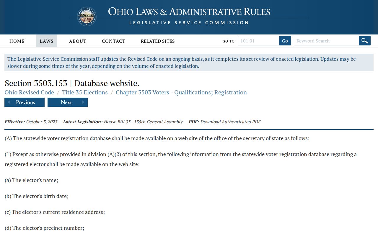
Ohio’s election law defines the public web data while excluding sensitive and confidential categories under related rules. Use an official record only for the limited personal, lawful question it can answer, and never to bypass a protected address.
What Lebanon ZIP Codes Cannot Show
A ZIP Code is not a list of people, a city-boundary verdict, or a parcel identifier. The Auditor records current tax and property information by its documented name, address, parcel, account, and lot routes, not a verified ZIP-wide resident search. The Ohio voter lookup is also deliberately person-specific: it requires first name, last name, and county, with a street selection only after results. Its public fields and redactions are governed by law, and confidential registrations remain outside the ordinary public result.
Use the information in sequence. USPS verifies mail delivery for a particular address. The road and municipal layers test postal geography against the city line. The Auditor connects a specific address to a parcel and current assessment information. The Recorder can then follow the legal description for land records. Each source narrows a different question, and none should be stretched into proof of a complete household or the actual location of a protected person.
Note: A ZIP mismatch, missing voter result, or different tax mailing address is a reason to verify the appropriate official record, not a conclusion about a person.